
About Drone FTP

Why DroneFTP
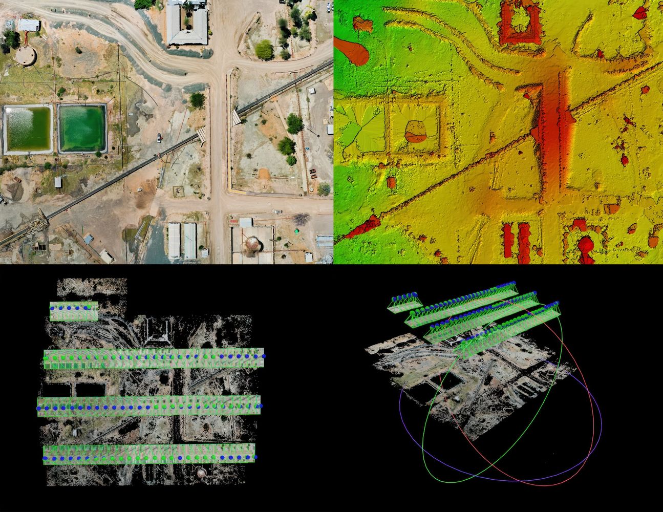
Drone mapping uses overlapping aerial photos captured in a grid pattern to create accurate, scaled maps and elevation models that clients can measure and use. Photogrammetry works by comparing thousands of matching points across overlapping photos, allowing software to reconstruct the shape of the ground and objects.
Deliverables
- Orthomosaic maps
- Digital Elevation Models (DEMs)
- Contour lines
- CAD and GIS-ready files

Who Typically Uses This Information?
- Construction: progress tracking, volumes/volumetrics
- Land development: grading, planning
- Environmental: site documentation
- Real estate: acreage visualization
**Drone mapping provides highly accurate relative measurements. Survey-grade accuracy requires RTK and/or ground control points.

How Does it Work?
- Upload photos
- DroneFTP processes the data
- Files are delivered ready-to-use

Do I Need to be an Expert?
No, DroneFTP removes the need for expensive software, long processing times, and technical expertise. See our flight recommendations page here.
blog
Contact Us
DroneFTP - ALWAYS OPEN!
PO Box 54587 Lexington, Kentucky, 40555 United States
Subscribe
Sign up for our newsletter!
Copyright © 2026 Drone FTP - All Rights Reserved.
This website uses cookies.
We use cookies to analyze website traffic and optimize your website experience. By accepting our use of cookies, your data will be aggregated with all other user data.
